


Sweden's MATS satellite resumes its watch on the upper atmosphere after a licensing pause
After more than a year on hold, Sweden's research satellite MATS is returning to science operations this month. The mission is led from the Department of Meteorology (MISU) at Stockholm University, where project leader Linda Megner and principal investigator Jörg Gumbel head the scientific team. Operations were paused from April 2025 until June 2026 because of a clerical error in the licensing of the radio frequencies MATS uses to communicate. With the paperwork corrected, the satellite is once again cleared to send its data home.
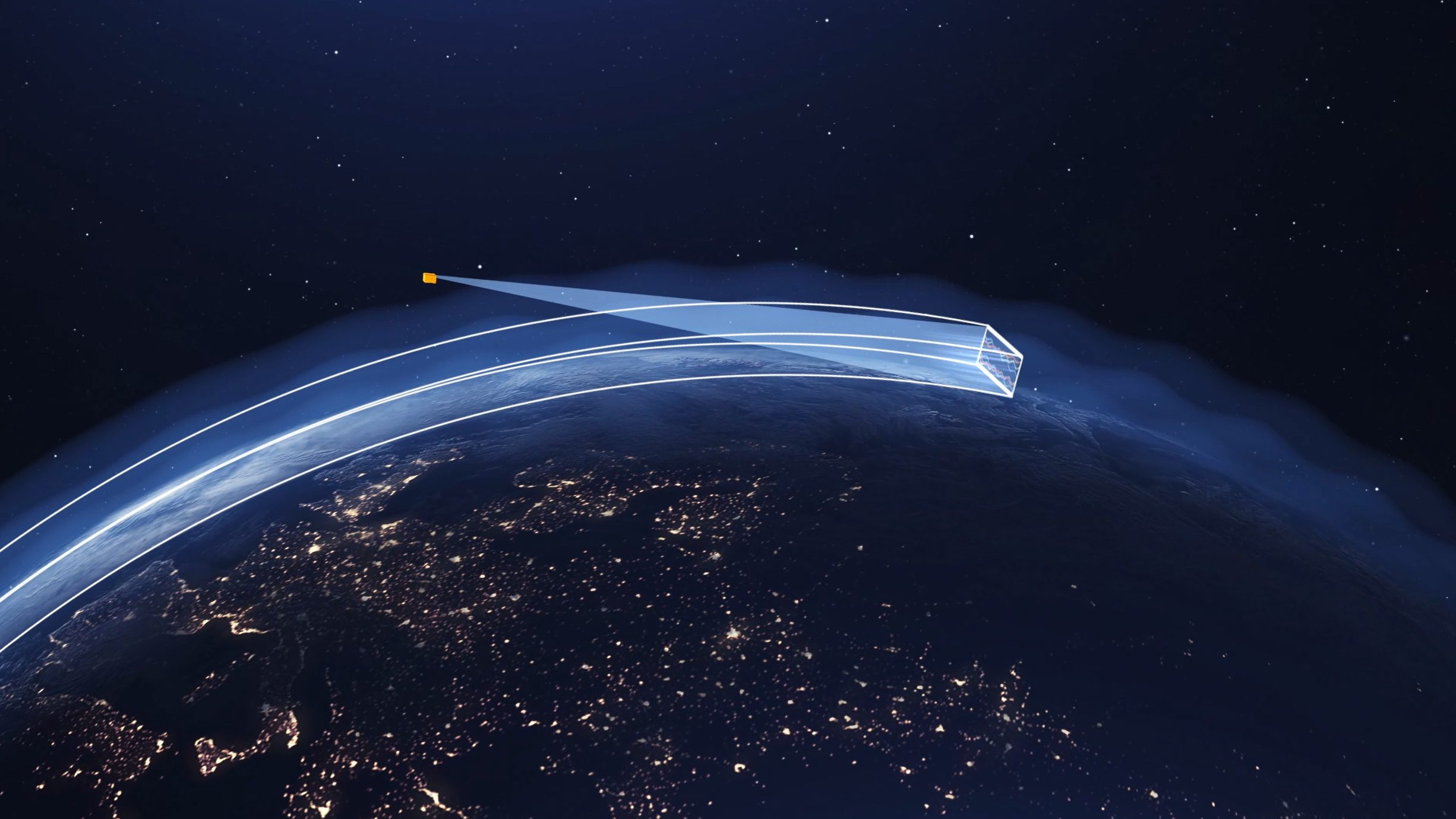
Illustration showing how Mats reads atmoshperic waves.
The fault was administrative rather than technical. A satellite needs a licence to use specific radio frequencies to talk to its ground stations, and a slip in that paperwork left MATS in the position of a radio station that still has a working transmitter but has temporarily lost the permit for its frequency.
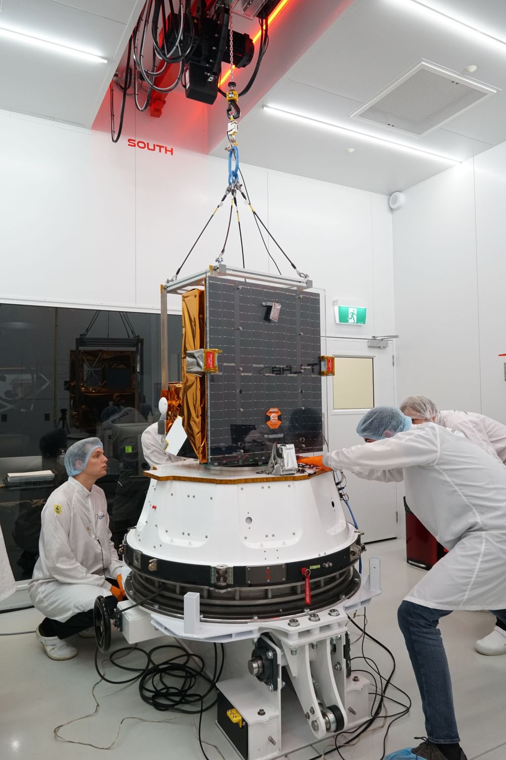
The Mats satellite in its last stages of assembly before launch in 2022.
What MATS does
MATS, short for Mesospheric Airglow/Aerosol Tomography and Spectroscopy, was launched on 4 November 2022 on a Rocket Lab Electron rocket from the Māhia Peninsula in New Zealand. It carries two instruments. One is a telescope that images the atmosphere in limb, looking sideways through the thin upper layers the way you would see more of a forest by looking across it than straight down at it.
The satellite measures two faint kinds of lights. The first is airglow from oxygen molecules, a glow the atmosphere gives off near 100 kilometres altitude, recorded in the infrared. The second is sunlight scattered by noctilucent clouds, the highest clouds on Earth, which form around 80 kilometres, and is picked up in the ultraviolet. By taking image after image as it moves along its orbit, MATS lets researchers stack the views together into three dimensions, the same principle a medical scanner uses to build a body image from many flat slices. The result is the first global, three-dimensional picture of the waves moving through this layer.
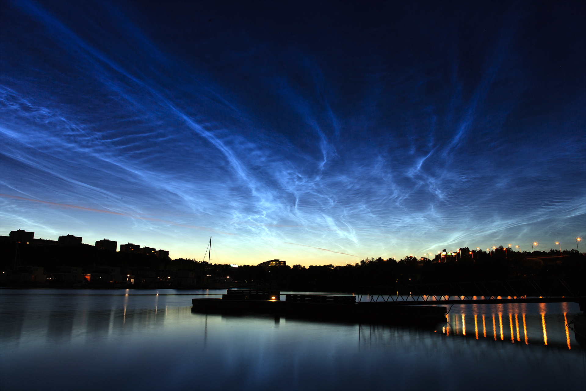
Image: Noctilucent clouds over Stockholm. Sweden. These clouds sit so high that they stay lit by the sun long after the ground below has fallen into darkness.
Why the mesosphere matters
The mesosphere sits between about 50 and 100 kilometres up, where the atmosphere thins out toward space and where most meteors burn up. The air there is filled with waves.
When wind passes over a mountain range, it sets off ripples in the atmosphere in much the same way water ripples downstream of a stone in a river. These so-called gravity waves carry energy and momentum upward and shape much of the circulation in the upper atmosphere. They are named for gravity as the restoring force and should not be confused with gravitational waves, which are ripples in the gravity field itself.
How those waves are distributed across the globe is a large gap in the atmospheric models used for, for instance, climate research. MATS was designed to help close that gap.
Fact box: the MATS mission
- Full name: Mesospheric Airglow/Aerosol Tomography and Spectroscopy
- Launched: 4 November 2022, on a Rocket Lab Electron from the Māhia Peninsula, New Zealand
- Orbit: roughly 600 km altitude, dawn/dusk sun-synchronous
- Size and mass: about 60 × 70 × 85 cm, around 50 kg; built on the
- Swedish InnoSat platform
- Instruments: a limb imager and a nadir imager, with six spectral channels — two in the ultraviolet (around 270–305 nm, for noctilucent clouds) and four in the near-infrared (around 760 nm, for the oxygen A-band airglow)
- What it measures: three-dimensional structure of atmospheric gravity waves in the mesosphere and lower thermosphere, roughly 70–110 km up
- Operations pause: April 2025 to June 2026, caused by a clerical error in the licensing of the satellite's communication frequencies; the spacecraft and instrument were unaffected
- Partners: OHB Sweden, ÅAC Microtec/AAC Clyde Space, the Department of Meteorology (MISU) at Stockholm University, the Department of Earth and Space Sciences at Chalmers University of Technology, the Space and
- Plasma Physics group at the Royal Institute of Technology (KTH), and Omnisys Instruments
- Funded by: the Swedish National Space Agency (with support from the Swedish Research Council)
A few terms:
- Mesosphere: the atmospheric layer from about 50 to 100 km up, bordering space.
- Noctilucent clouds: the highest clouds on Earth, made of ice forming near 80 km; visible at twilight when sunlit from below the horizon.
- Airglow: faint light continuously emitted by the atmosphere, here from oxygen molecules.
- Gravity waves: ripples in air density set off when air is displaced, for example by wind over mountains; not to be confused with gravitational waves in space.
- Limb sounding: observing the atmosphere edge-on rather than straight down, which gives a longer line of sight through thin layers.
- Tomography: reconstructing a three-dimensional structure from many two-dimensional views.
Last updated: 2026-06-24
Source: Communications Office