


Research project Grain at any price: Geographical patterns of food security in pre-industrial Europe
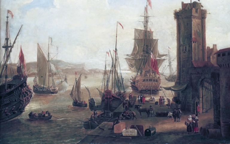
Dock Scene at a British Port, Jacob Knijff (1639–1681), National Maritime Museum, London, via Wikimedia Commons
The project applies geographic information system analyses and econometrics, together with traditional historical source criticism, to an unprecedentedly large dataset of grain yields and prices.
First, we will establish the relationship between changes in grain yields and prices, which is still poorly understood, as well as how this relationship changed over time, between regions, and among grain types. This will allow us to not only evaluate the reliability of grain prices as an indicator for food availability, but also provide new insights into levels of food stress.
Second, we will examine and quantify the relative role of various endogenous factors (e.g., political borders) and exogenous factors (e.g., coastal access) in determining levels of food security. Grain prices are the only widely available measure that allows for a comparison of the level of food security between regions as well as over time.
Our multidisciplinary approach, which uses grain yield and price data to investigate the levels of food security through geostatistical and econometric analyses, is achievable through the joint expertise of the project team, which consists of a historian, a geographer, an economic historian and a statistician.